DJI Mavic 3 Thermal - The Ultimate Tactical Advantage
Introducing the DJI Mavic 3T, the ultimate tactical drone designed to meet the demands of military and law enforcement missions. Engineered for precision, reliability, and versatility, the Mavic 3T offers a crucial edge in mission-critical scenarios.
Key Features:
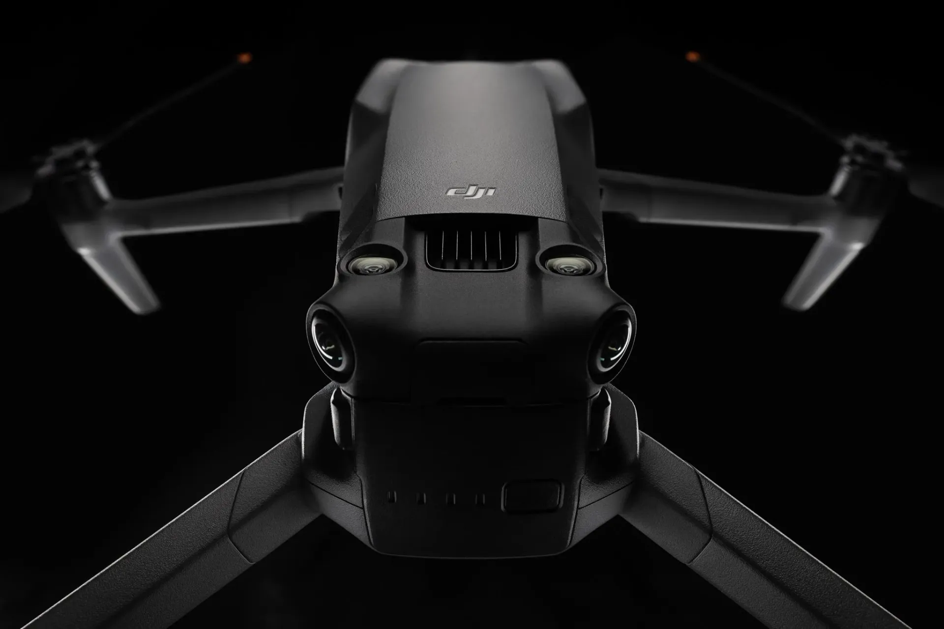
Multi-Sensor Camera System:* The Mavic 3T boasts a multi-sensor camera system, integrating a 20MP wide-angle camera, a 12MP telephoto camera, and a thermal imaging camera. This setup allows operators to simultaneously capture detailed visual and thermal data, essential for reconnaissance, surveillance, and tactical evaluations. *Thermal Imaging: The built-in thermal camera provides a 640×512 resolution, enabling the detection of heat signatures through smoke, foliage, and complete darkness. This capability is essential for search and rescue, suspect apprehension, and identifying hidden threats during tactical operations.
Comprehensive Obstacle Sensing: Equipped with omnidirectional obstacle sensing, the Mavic 3T offers 360-degree awareness and collision avoidance. This advanced system ensures safe navigation in complex environments, allowing operators to concentrate on their mission without concerns about drone safety.
Specifications:
- Weight: 895 g (with battery)
- Folded Dimensions: 221 x 96.3 x 90.3 mm
- Max Flight Time: 46 minutes
- Magnification: 56x Hybrid Zoom
- Operating Temperature Range: -10° to +40°C
- Remote Controller Live Video: 1080p / 30fps
- Sensor: 4/3 CMOS Hasselblad, 20 M
- Max Video Resolution: 5.1K/50-60 fps
- Thermal Resolution: 640×512
Content Transmission Range:
- Max Speed: 21 m/s
- Remote Battery: 5200 mAh, Operating time – 6 hours
- Battery: 5000 mAh – Charge time 96 minutes (65W charger)
Tactical Applications:
- Reconnaissance and Surveillance: Conduct covert operations with high-resolution imaging and thermal detection to gather critical intelligence and monitor suspect activities.
- Search and Rescue: Deploy the Mavic 3T in disaster zones to locate and assist individuals using thermal imaging to penetrate through smoke, rubble, and vegetation.
- Border Patrol: Enhance border security with long-range surveillance capabilities, identifying unauthorized crossings and tracking movements in real-time.
- Tactical Operations: Support SWAT and special forces with real-time aerial views during raids, hostage rescues, and high-risk operations, ensuring teams have the tactical advantage.